BVI April'04
(Click on a thumbnail to englarge it)
Trip organized by Joe Feisal of DynamicDiversions.org
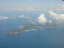
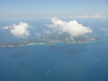
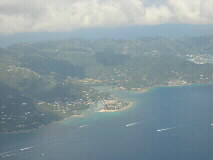
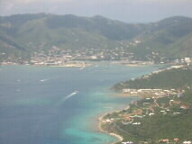
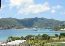
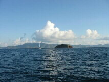
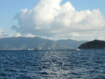
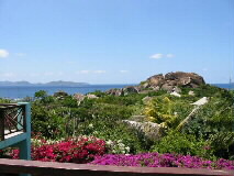
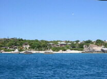
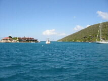
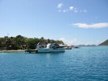
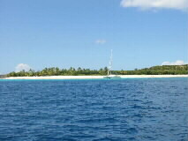
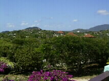
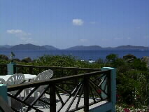
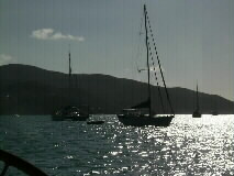
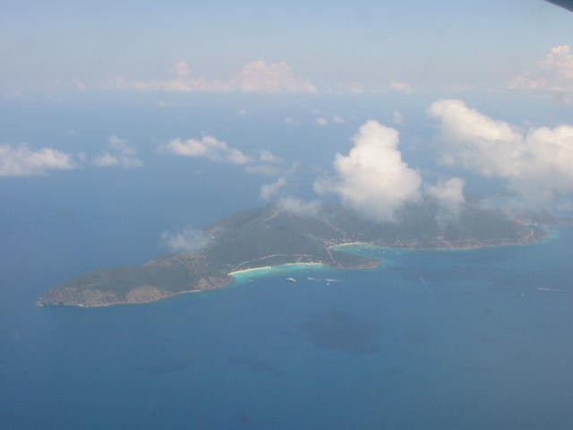
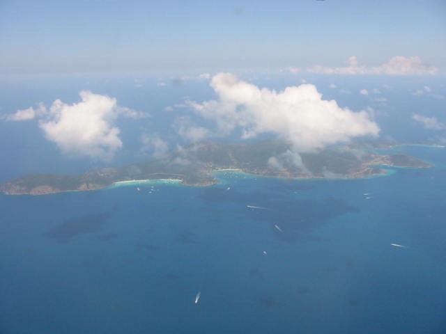
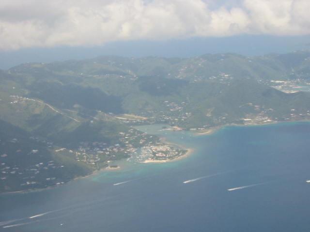
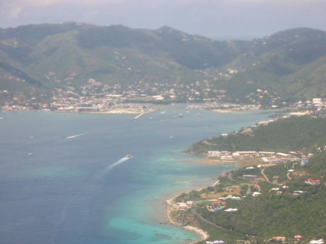
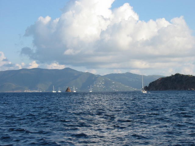
Flying into Tortola and views of the main town "Road Town":
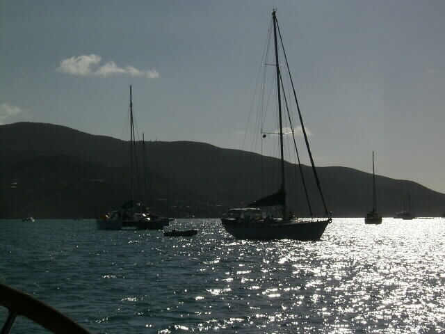
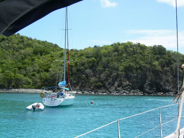
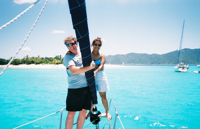
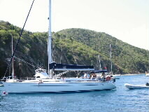
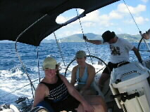
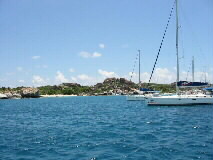
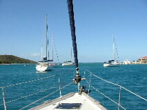
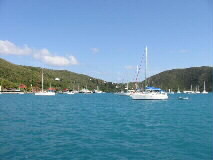
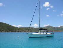
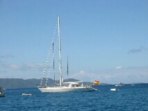
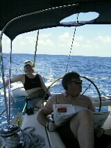
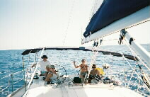
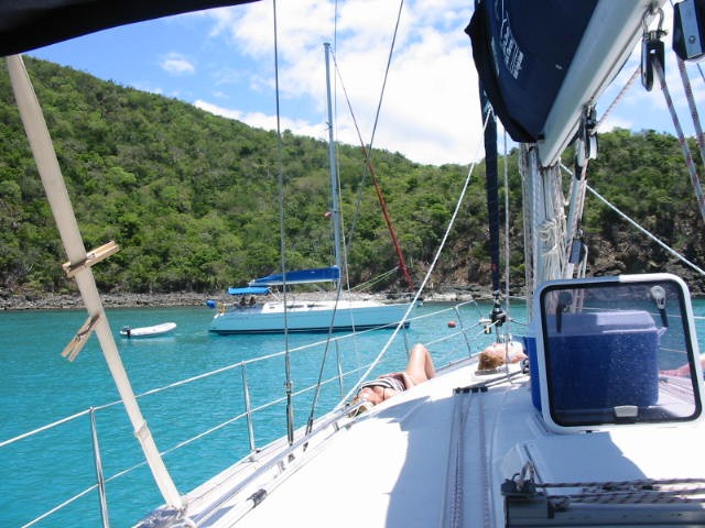
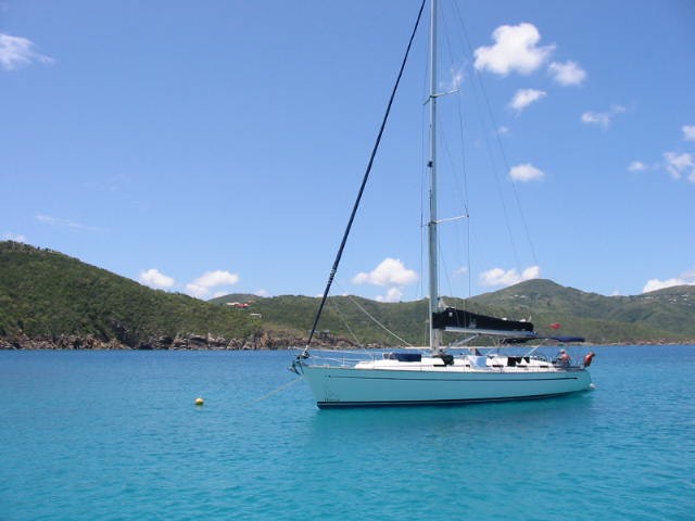
One of the two Bavarias we had; this one 49' and the other 44':
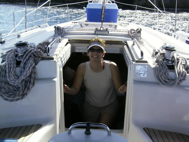
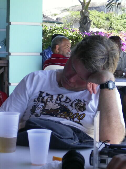
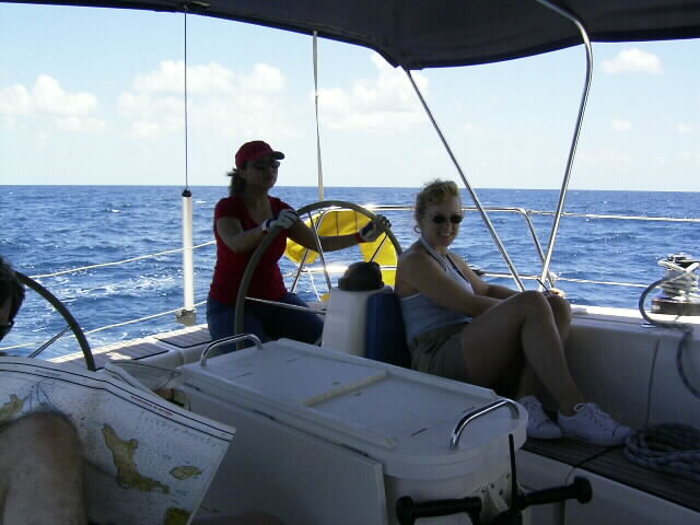
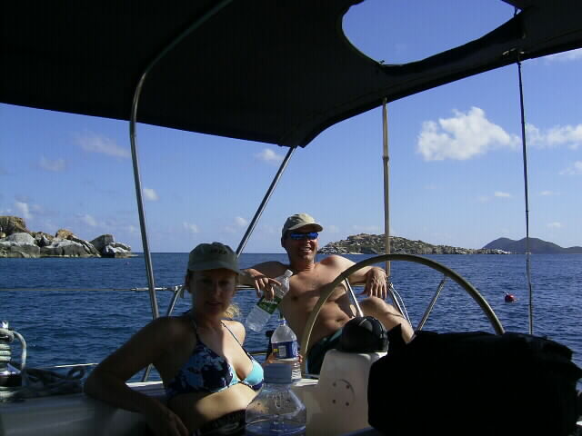
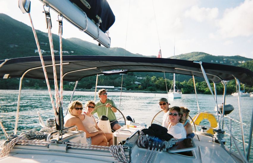
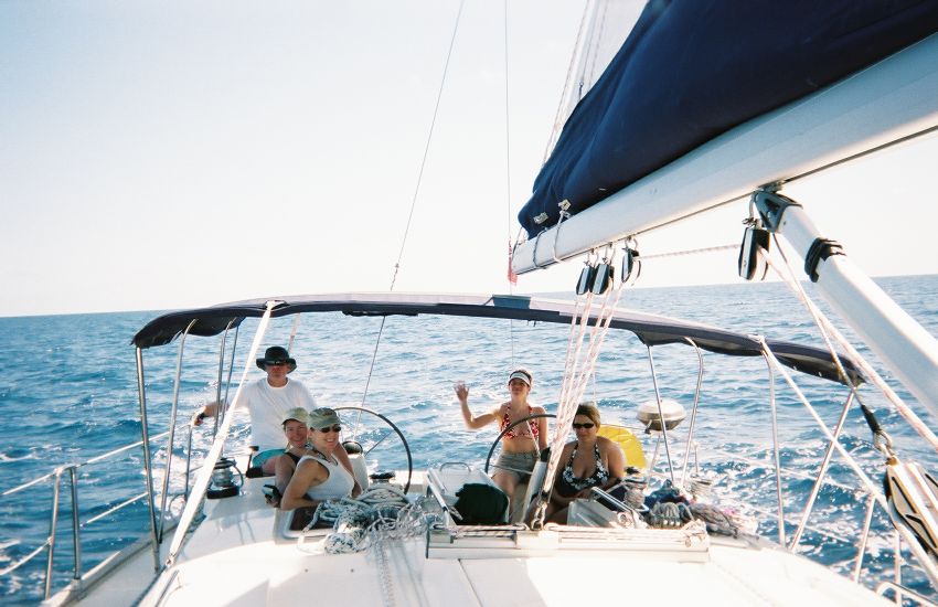
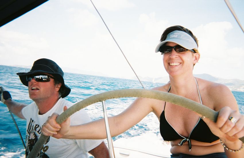
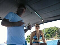
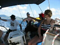
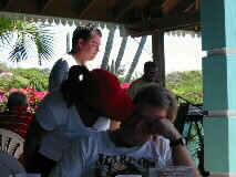
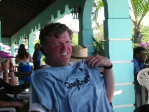
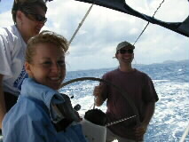
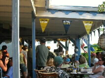
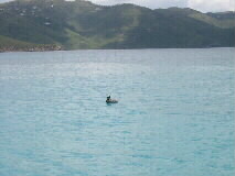
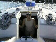
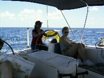
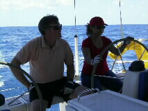
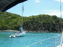
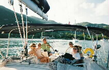
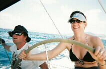
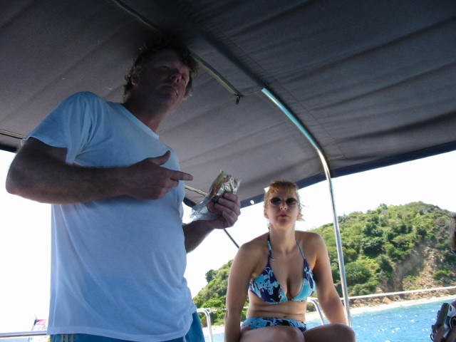
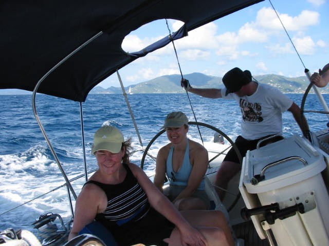
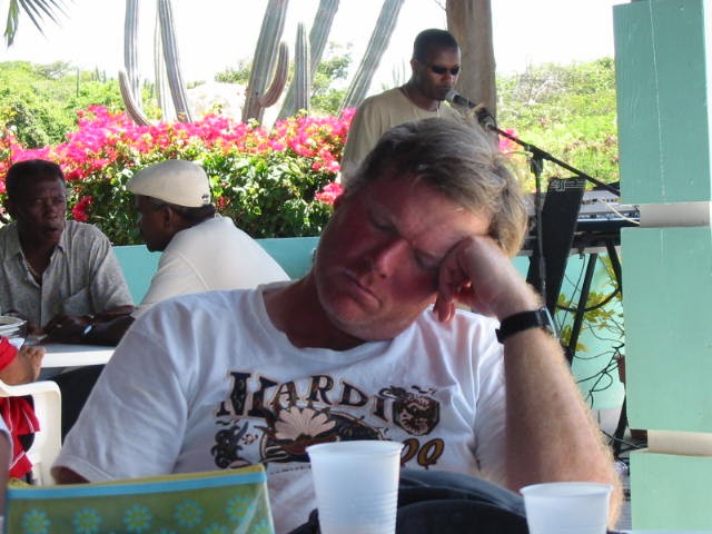
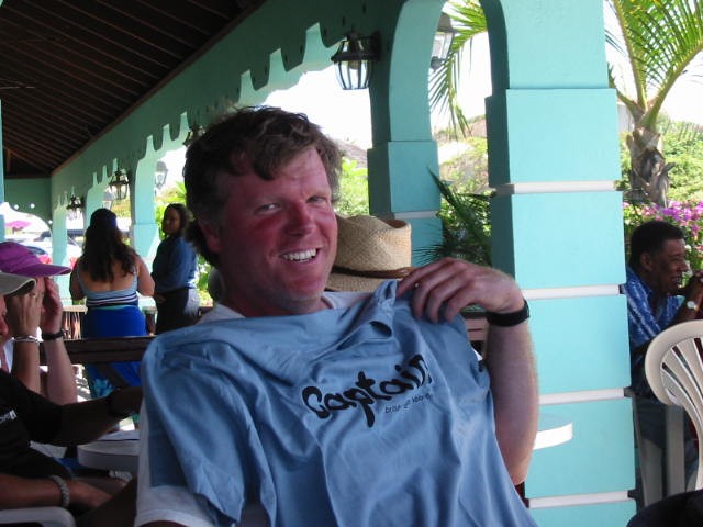
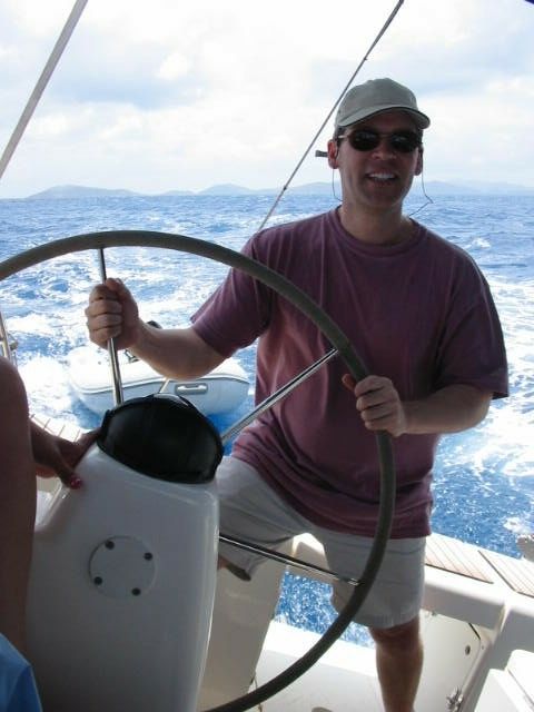
Our skipper explaining the importance of nutrition on the high seas:

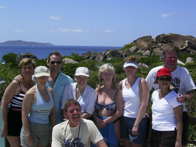
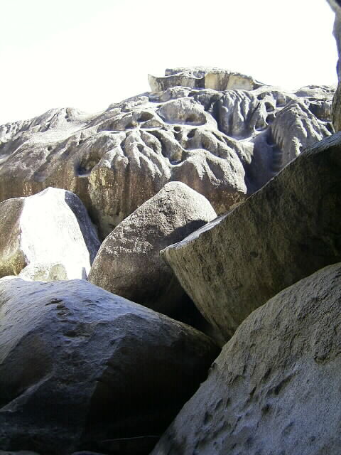
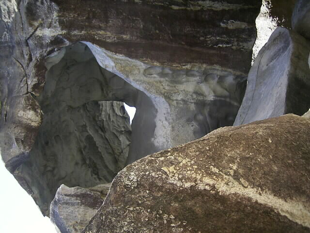
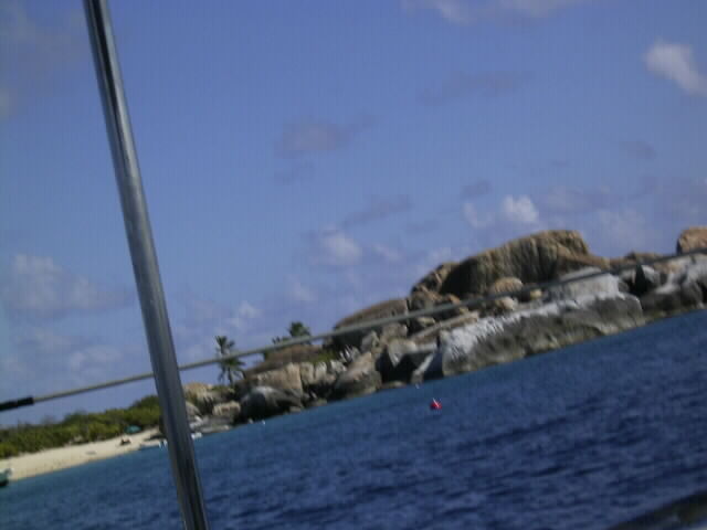
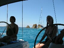
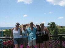
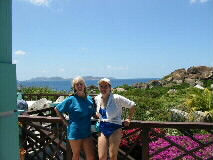
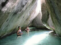
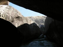
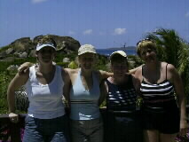
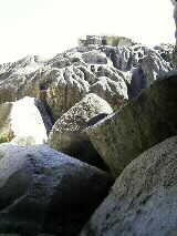
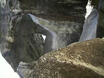
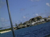
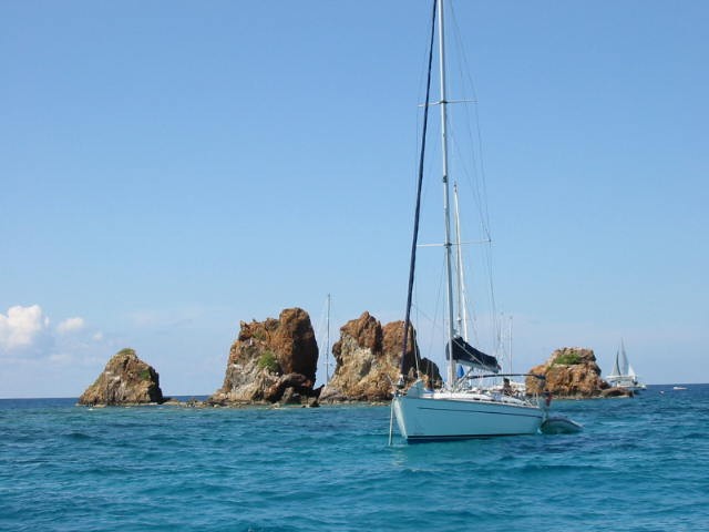
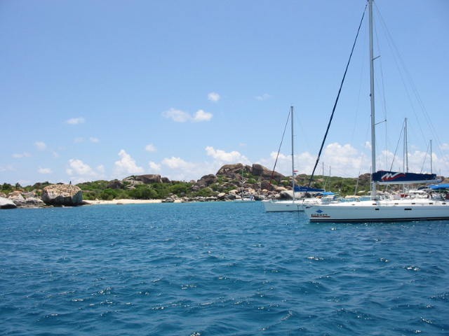
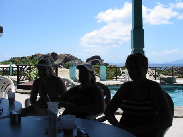
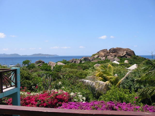
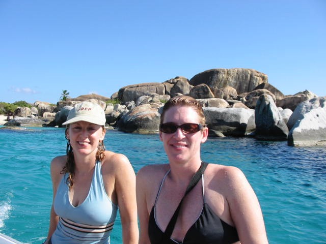
at the Top of the Baths on Virgin Gorda:

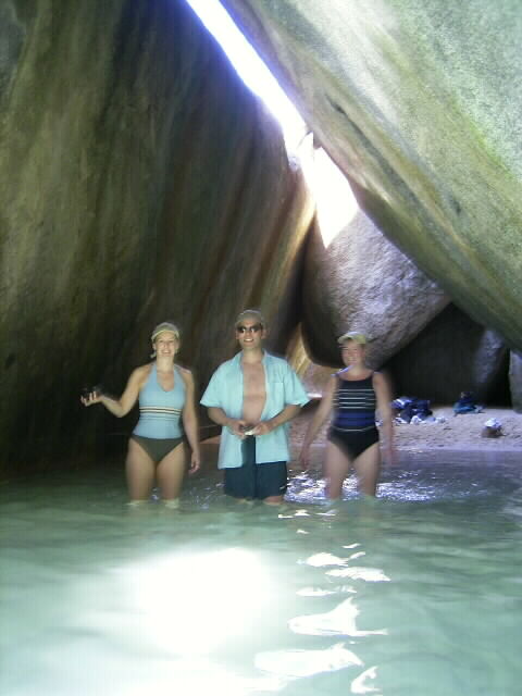
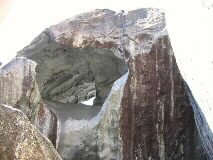
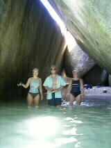
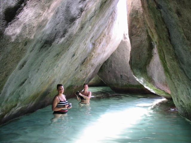
and the Baths themselves:
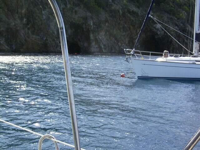
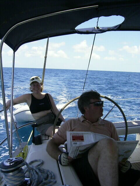
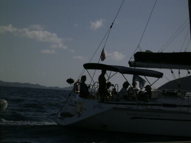
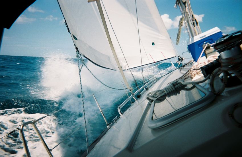
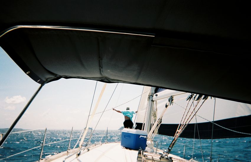
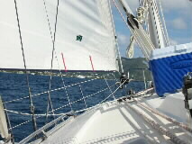
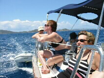
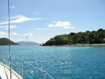
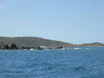
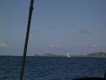
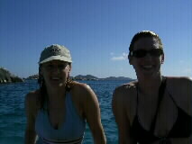
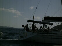
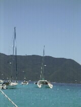
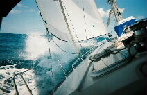
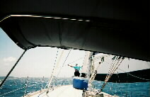
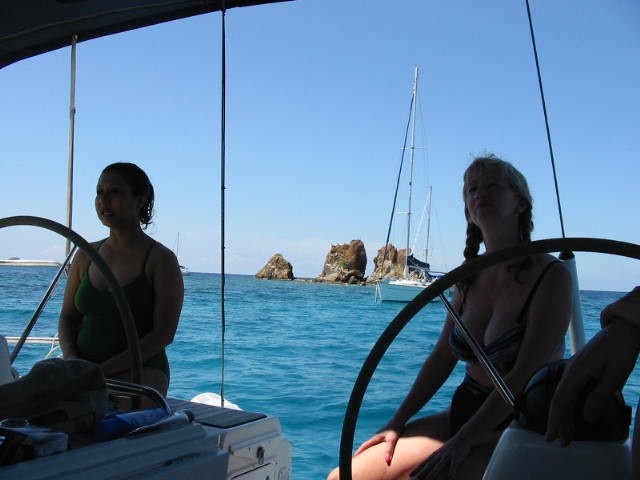
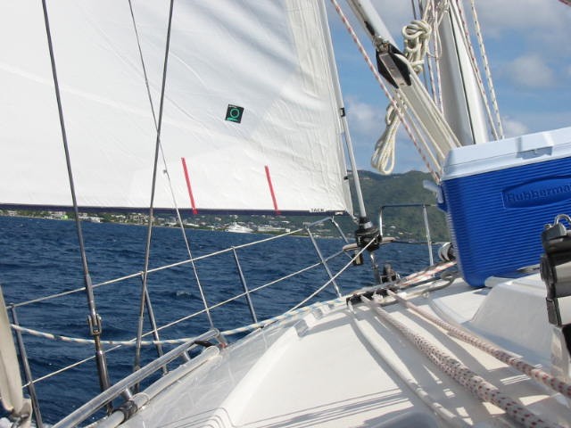
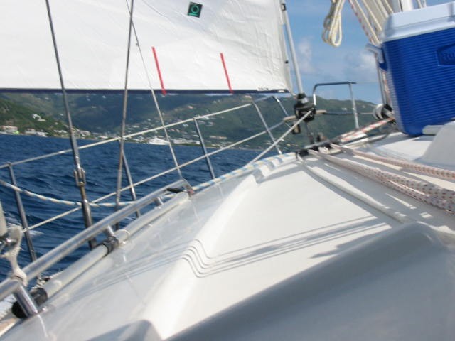
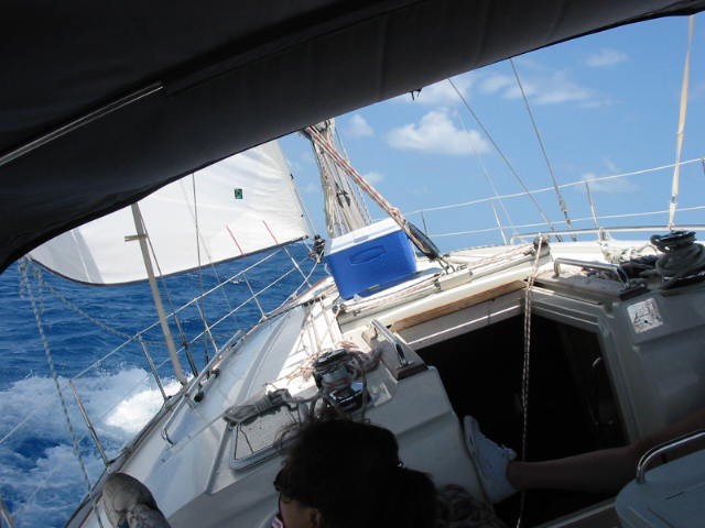
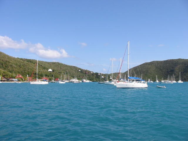
Our best day sailing, up towards Anagoda, in "full ocean sailing conditions":


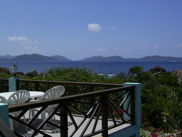
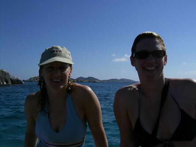
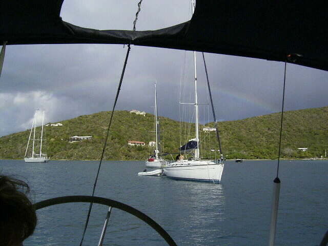
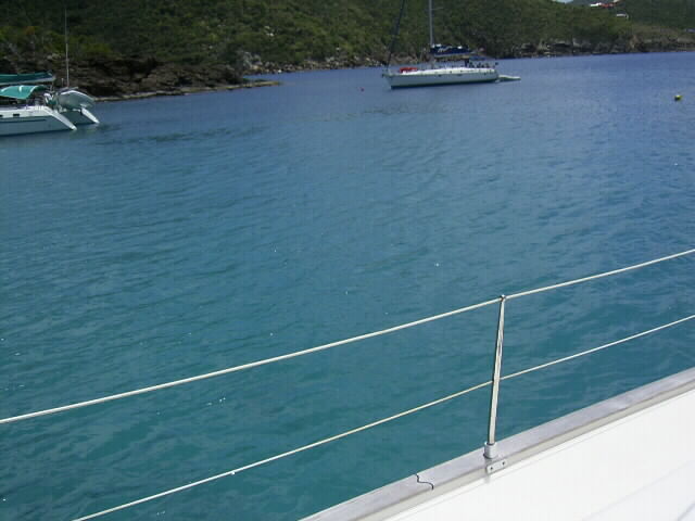
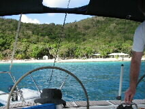
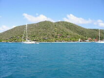
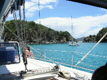
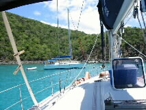
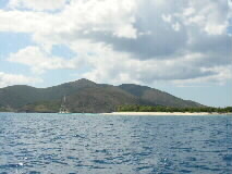
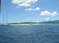
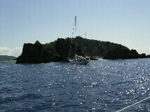
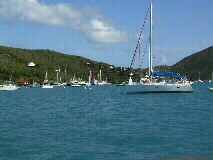
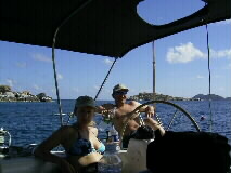
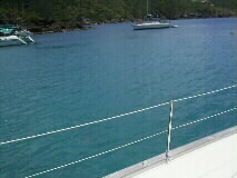
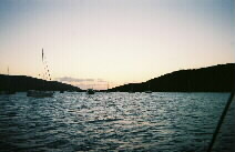
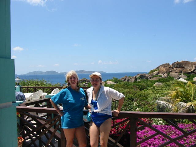
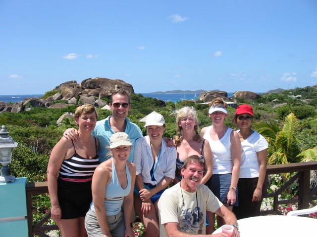
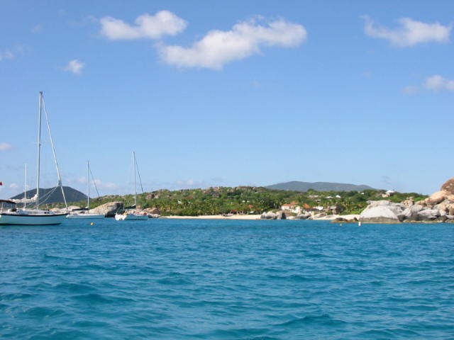
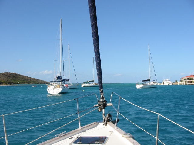
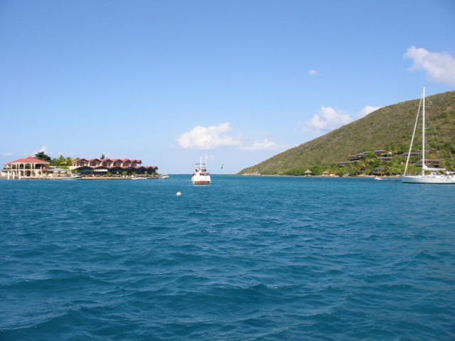
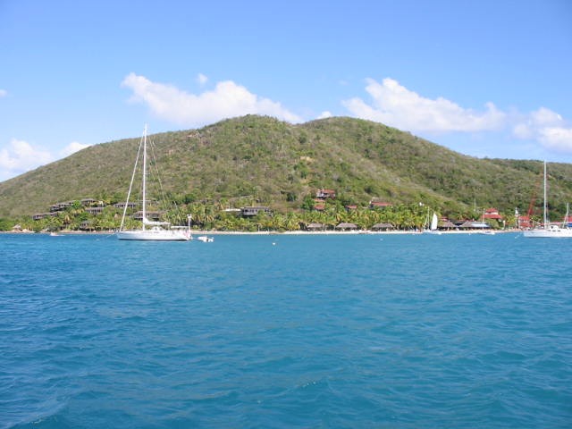
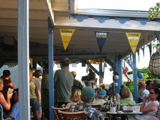
Then back to the Bitter End on Virgin Gorda:
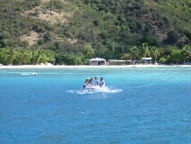
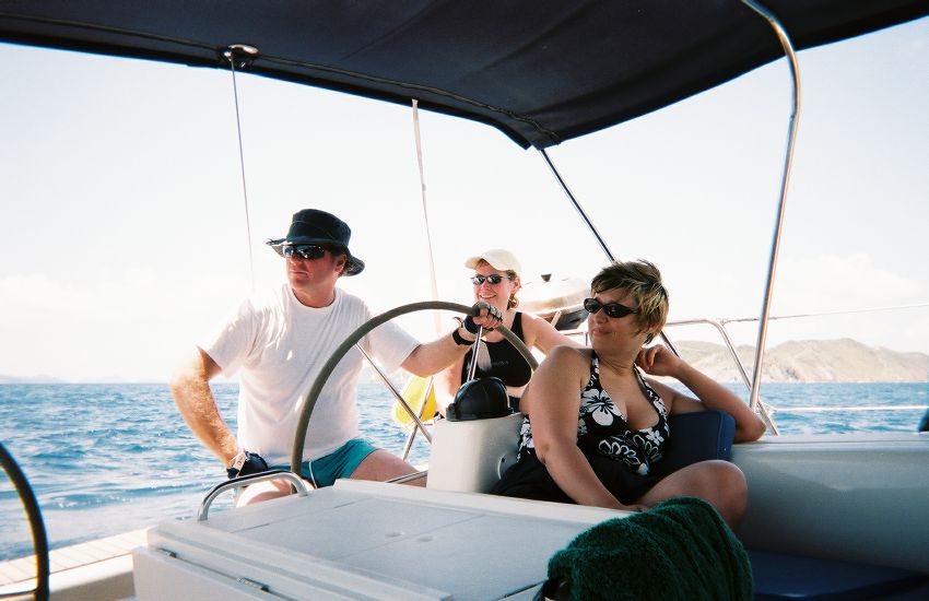
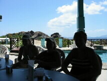
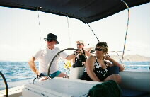
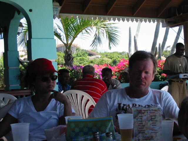
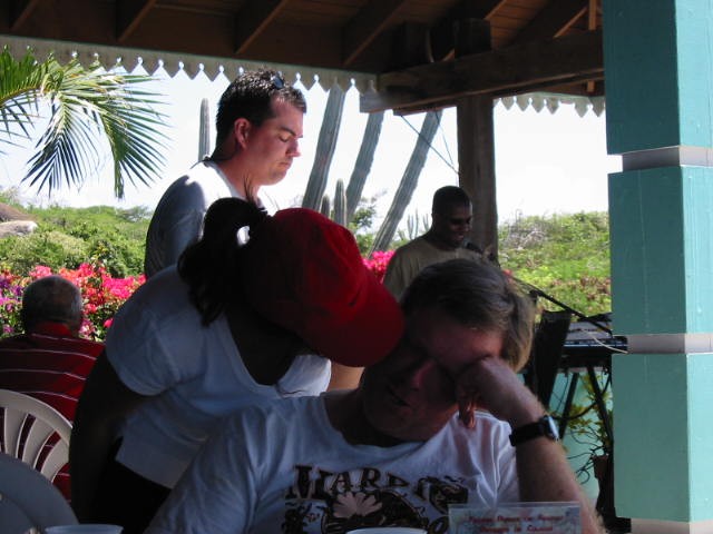
some had more accomodations than others...
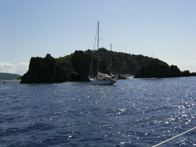
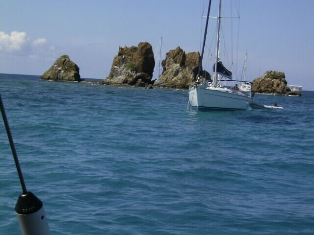
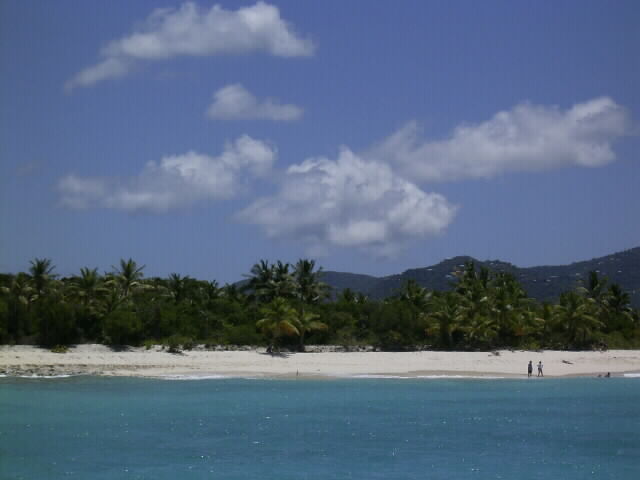
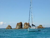
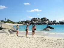
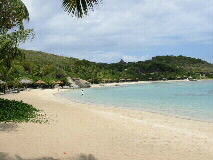
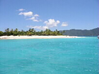
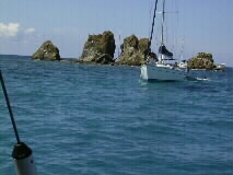
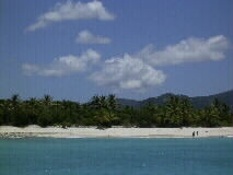
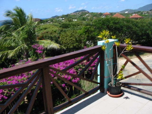
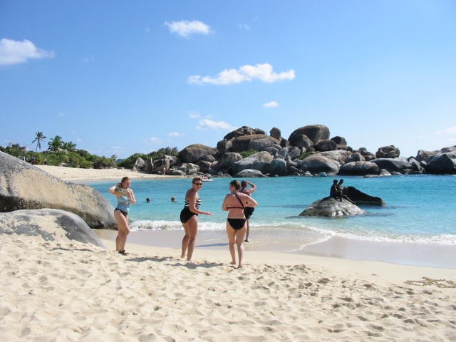
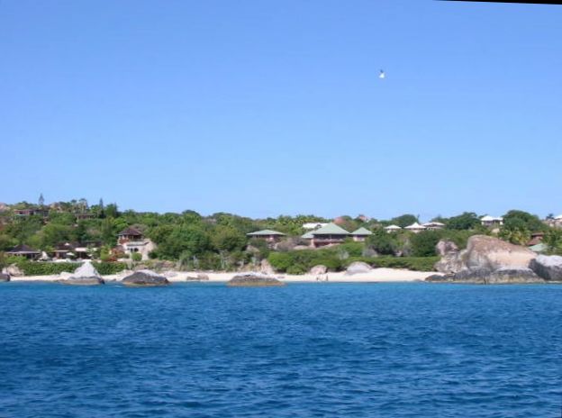
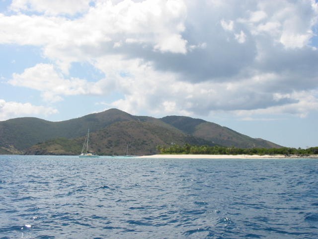
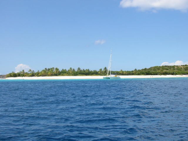
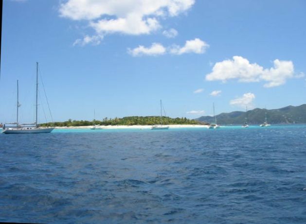
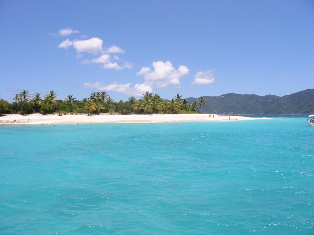
Sandy Cay:
 <-- this one's the best!
More pics from Jacquie:


More pics from MarMar:

some more links I found before our trip:
the best picture: http://tortola.caribbeanway.com/map.asp
a good general description: http://www.islands.com/tortola/
or an atlas version:
http://www.graphicmaps.com/webimage/countrys/namerica/caribb/tortola.htm
or a more folksy one: http://www.bvitravel.com/maps/
a map of the BVI and links to the little islands we visited: http://www.bareboatsbvi.com/map_bvi.html
like (Salt) Peter, Norman, Jost van Dyke, and Virgin Gorda.
a town and road map of Tortola: http://www.skyviews.com/bvi/tortola/map.html (the airport's over on the right end)
a map of the big town, "Road Town": http://www.caribbean-on-line.com/bv/rtmap.shtml
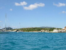
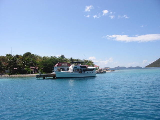
where we kicked off at Nanny Cay: http://www.bareboatsbvi.com/map_nanny_cay.html,
an arial view: http://www.nannycay.com/
and webcam: http://www.nannycay.com/webcamjames.htm
our two boats are Bavaria 44 and 49 footers:
http://www.bavariayachts.com/yacht_44_aft.htm
http://www.bavariayachts.com/yacht_49_aft.htm
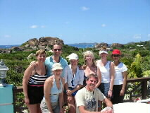
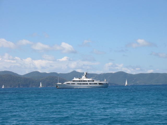
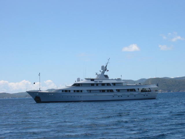
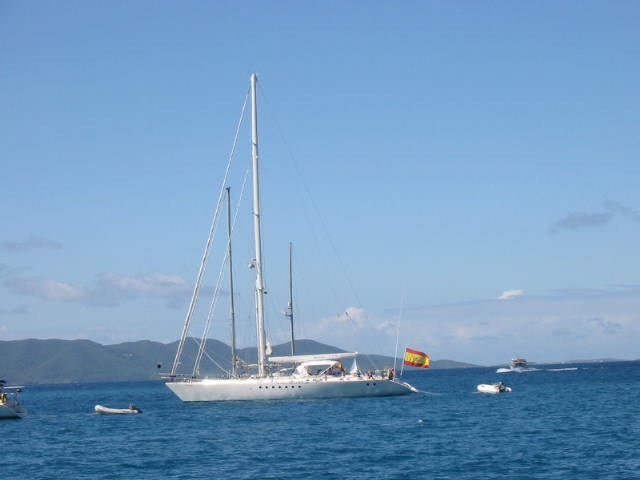
More photos
© 2004-2006 Clifford Farmer, All Rights Reserved.


 <-- this one's the best!